Este website utiliza cookies. Ao continuar a navegação está a aceitar a sua utilização.
Caso pretenda saber mais, consulte a nossa política de privacidade.

Tides table
Clarification
Please note that the hours presented are expressed in Coordinated Universal Time, which corresponds to the Winter period legal time. To get the Summer period legal time (between the last Sunday in March and the last Sunday in October), it is necessary to add 1 hour to the values presented.
Download the Tidal Table
Tabela de Marés 2026
Tabela de Marés 2025
Tabela de Marés 2024
Tabela de Marés 2023
Since the Hydrographic Zero plan (ZH) was fixed in relation to average levels adopted several decades ago, there is currently a systematic difference of about +/- 10 centimetres between the predicted tide heights and the actual water heights.
The water heights presented in the tide tables are referred to the port of Lisbon’s Hydrographic Zero level, located 2.08 meters below the average level of the sea waters, in Cascais.
Copyright Marinha, Instituto Hidrográfico, 2021.
Published following authorization No. 20/2022 by the Hydrographic Institute, Navy.
This publication does not replace the Hydrographic Institute official publications. The Hydrographic Institute declines any responsibility resulting from the use of the transcribed tidal elements.
Tide gauge
After the VTS system upgrade, which took place in early 2019, the port of Lisbon now has two tide gauges, integrated in the two existing weather stations and strategically placed in Algés and Cacilhas.
The data presented are collected by the tide gauge of Algés, installed at the Centre for Coordination and Control of Maritime Traffic and Safety – VTS Lisbon.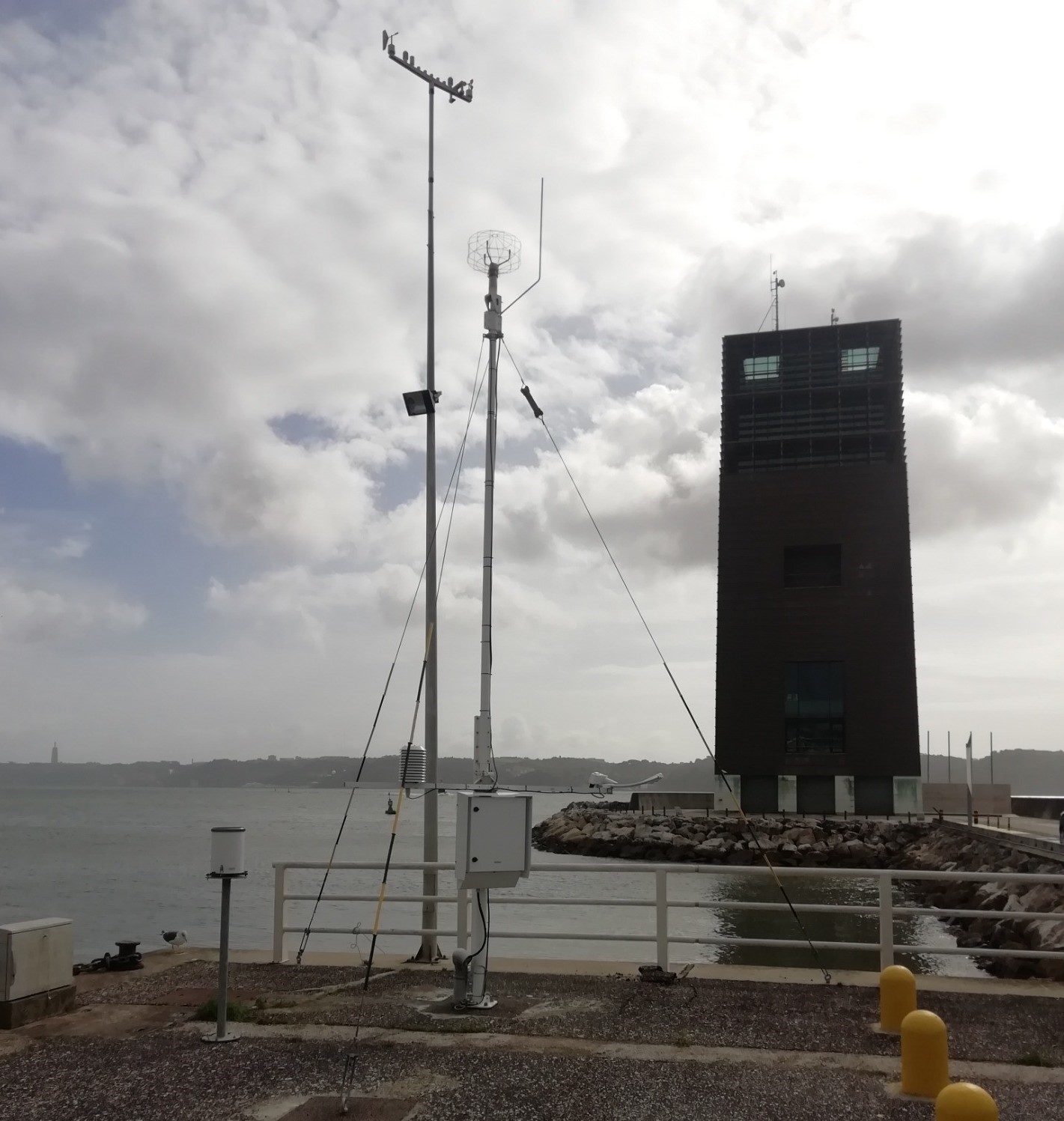
Within the scope of inland navigation to Castanheira do Ribatejo, the VTS system provides for the expansion of the entire system, including new weather stations and tide gauges along the Tagus River.
Information
System calibrated in January 2019.